BOOK & BUY PERSONALISED FORECASTS:
Our forecasters will write a forecast specifically for you, and email it to you.
Simply book in advance and we'll email the forecast to you at the time you specify.
You'll also be able to telephone the forecaster to discuss the forecast.
Forecasts can be made for anywhere in the world, and cost just £17 (inc VAT).
To book your forecast, and to see a sample, go to http://www.weatherweb.net/buy.htm
************************************************************************
Hello again,
Not looking exactly brilliant for the weekend ahead. Some potential dangerous unseasonable conditions out there, so do check the latest forecasts throughout the weekend.
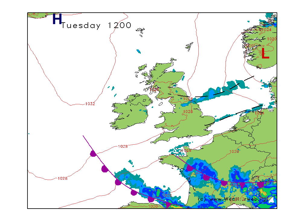
Apologies for non-standard charts today. A problem between service providers has lead to this, something to do with unbundling on the local loop. A warning to everyone with broadband I think, if it suddenly starts going slow for no reason, call your provider, there are some very strange things happening behind the scenes.
As always there is a more detailed weekend forecast that can be watched at Weatherweb.TV and I have added another Weather School video about coastal winds, under 'Learning'.
If you have a friend who wants to receive this forecast each week they just need to send an email to sailingweather-subscribe@weatherweb.net
Best wishes,
Simon
WEEKEND WEATHER FORECAST
Issued: 1400 Thursday 3rd July 2008
SATURDAY:
A deep area of low pressure is expected to be centred off southern Ireland at midday on Saturday. The associated occluded front expected through Ireland, Wales, NW England, the Midlands and SE England, oving slowly north.
It will be a very disturbed day of weather for much of the country with the west fairing worst of all. There will be some heavy periods of rain along the line of the front, this heading northwards. Behind it will be frequent, heavy and thundery showers, the most frequent of these in the west. Longer periods of rain are possible at anytime, as will be hail and thunder. Gales are expected through parts of the Irish Sea, Bristol Channel and western Channel.
For northern Scotland conditions are going to be drier. Cloud will be broken here with some sunny spells through the day. Southern Scotland sees thickening cloud with the rain moving in here later, and becoming heavy.
Winds will be cyclonic, mainly S-SW 30-40kt (F7-F
SUNDAY:
Little change for Sunday with the low virtually stationary. The occluded front will have moved north, but then another section of the front returns across Wales, Ireland and England.
Suffice to say the day is going to be extremely disturbed. Heavy periods of rain and showers are going to be affecting nearly all parts of the country, and there will be thunderstorms mixed in with this unsettled weather too. It is hard to put more detail on the weather at this time as it will be so unsettled.
The far north of Scotland may fair a little better, with some sunshine here, Shetland and Orkney best of all.
Again there will be gales the worst through the southern Irish Sea, southern Ireland, Bristol Channel and western English Channel.
Winds will be mainly SW 25-35kt (F6-F


